


Tropical weather outlook (courtesy: NHC)
Meteorological services, MBIA

Area of special interest: 10°–20 °N and 45°–65°W
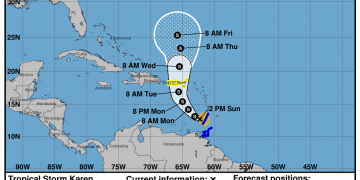
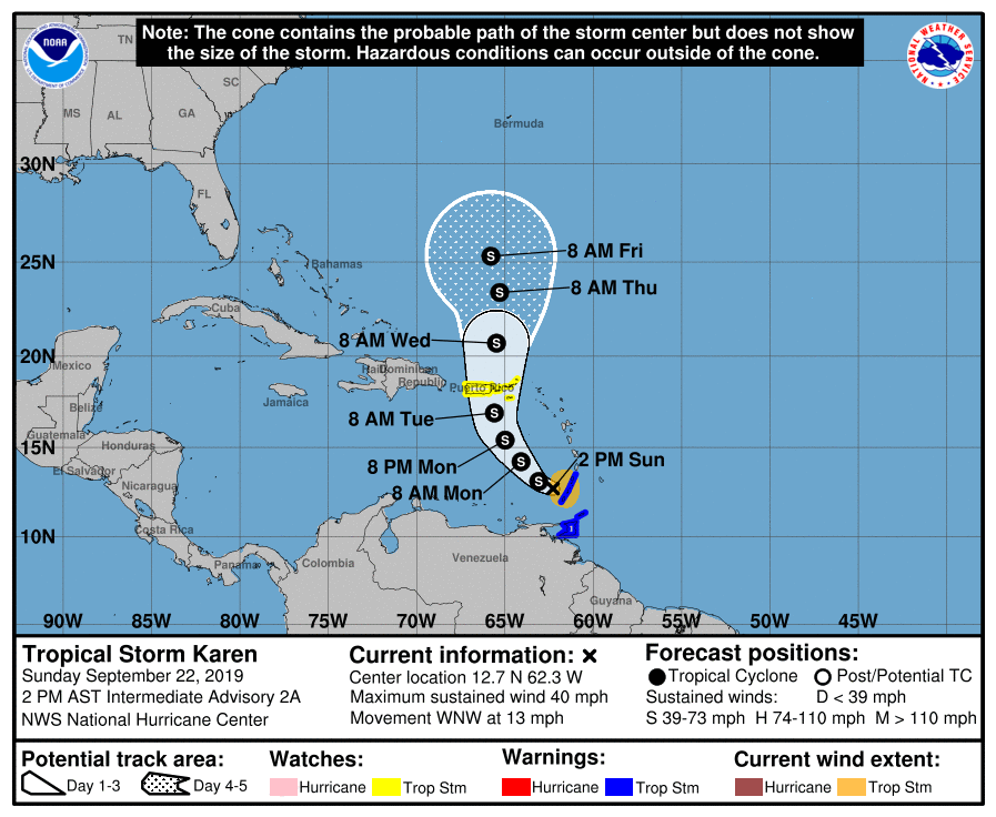
At 2 pm LST, the centre of Tropical Storm Karen was located near latitude 12.7° North, longitude 62.3° West. It is 60 miles north of Grenada.
Karen is moving toward the west-northwest near 13 mph, and this general motion is expected to continue today. A turn toward the northwest is forecast to occur on Monday, followed by a turn toward the north on Tuesday. At present, the centre of Karen is moving away from Grenada. Maximum sustained winds are near 40 mph with higher gusts. Little change in strength is forecast during the next 48 hours. Tropical-storm-force winds extend outward up to 105 miles, primarily in squalls to the east of the centre.
The estimated minimum central pressure is 1006 mb.
Grenada and its dependencies remain under a tropical storm warning as tropical storm conditions continue to affect the tri-island state. A flood and landslide warning remains in effect for the tri-island state along with a marine and high surf advisory.
Gerard Tamar, Forecaster


Am praying for my country grenada