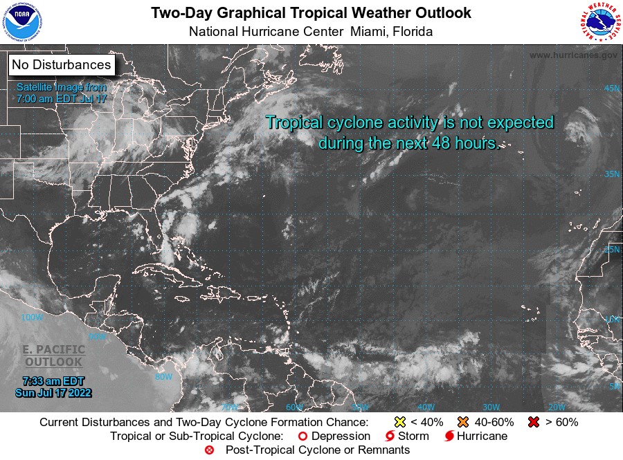


For Tropical North Atlantic Ocean, Caribbean Sea and Gulf of Mexico

AREA OF SPECIAL INTEREST: 10 – 20 °N AND 45 – 65 °W
Tropical Wave: A western Atlantic tropical wave which traversed Trinidad and Tobago, Grenada and the rest of the Windward Islands early this morning has its axis along 62°W, extending from 17°N southward, 31 nm west of Grenada. Is it propagating westward at 15 kt. Scattered moderate convection is noted in the vicinity of Trinidad and Tobago and Grenada.
The State of Grenada will continue to experience cloudy to overcast skies and windy conditions with scattered light to moderate showers which may become heavy at times and accompanied by lightning and thunder. There is a medium chance of flooding and small-scale landslides in vulnerable areas. Additionally, a small craft advisory is in effect. Weather models suggest that cloudiness and showery activity will subside as the evening progresses.
The Meteorological Service will continue to monitor the progress of this wave and provide updates in a timely manner.
Elsewhere, tropical cyclone formation is not expected during the next 2 days.
The next update will be issued at 2 pm.
Cécil Mitchell, Duty Forecaster