


For Tropical North Atlantic Ocean, Caribbean Sea and Gulf of Mexico

AREA OF SPECIAL INTEREST: 10 – 20 °N AND 45 – 65 °W
Tropical Wave
A tropical wave has an axis that extends from 23°N 59.5°W across the Lesser Antilles to 06°N 63.5°W in Venezuela, moving W at 15 kt. A broad surface trough accompanies this tropical wave and extends farther NE to 27°N 55°W. Scattered moderate to strong convection is noted within 210 nm west of the wave axis from 0°6N to 11°N. Widely scattered moderate convection is elsewhere over water within 210 nm W and 420 nm E of the wave axis S of 16°N. The northern portion of the wave and surface trough axis is interacting with a middle-level trough to produce numerous moderate to strong convection from 22.5°N to 27°N between 50°W and 58°W.
Based on its forward speed and model projections, the axis of this wave is currently passing the island chain this morning. Models analysis suggests that this wave will produce partly cloudy to cloudy conditions with light to moderate showers and a low chance of isolated thunderstorms.
There is a low chance of flash flood if thunderstorm activities do occur.
The Meteorological Service will continue to closely monitor the progress of this wave and provide updates in a timely manner.
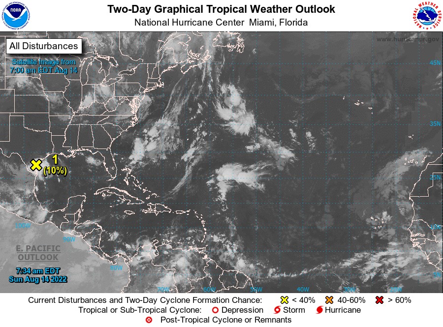
Elsewhere, tropical cyclone formation is not expected during the next 2 days.
The next update will be issued at 2 pm.
Andre Charles, Duty Forecaster