


For Tropical North Atlantic Ocean, Caribbean Sea and Gulf of Mexico

AREA OF SPECIAL INTEREST: 10 – 20 °N AND 45 – 65 °W
Low-level trough system:
A low-level trough system has its axis around 62°West, that is just west of Grenada. It was embedded in the ITCZ. Although satellite imagery suggests the system is weakening, it continues to advect moisture northward towards the Lesser Antilles. Regardless, convection (cloudiness) and showers associated with this system have decreased significantly.
Presently, partly cloudy to occasionally cloudy conditions with some light showers are now observed throughout the state of Grenada without any significant convective activity (lightning, thunder and gusty winds) observed.
Therefore, the Meteorological Office has therefore discontinued its warnings for a low chance of flooding and landslides in vulnerable areas. The warning for agitated seas with above-normal Northeasterly swells remains.
This will be the last update on this system unless warranted.
Tropical Wave:
A central Atlantic tropical wave has its axis near 53°West, extending from 20°North southward, 500 nautical miles (nm) east of Grenada. It is moving westward at 10 kt. Isolated moderate convection is observed near its axis, south of 13°N.
At its current speed, the axis of this wave should traverse Grenada late Thursday night into Friday morning, bringing mostly cloudy conditions overnight Thursday into Friday morning with the bulk of the activity expected Friday morning. There is also a medium chance of lightning and thunder.
Therefore, the Meteorological Office has issued an advisory for a low chance of flooding and/or landslides in vulnerable areas for overnight Thursday into Friday morning.
The Meteorological Service will continue to monitor the progress of these systems and provide updates in a timely manner.
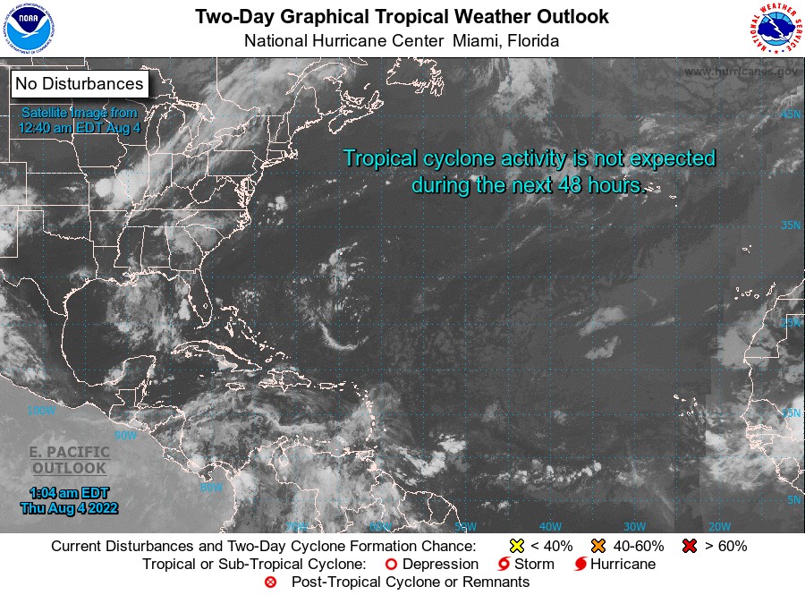
Elsewhere, tropical cyclone formation is not expected during the next 2 days.
The next update will be issued at 8 am.
Eugine Whint, Duty Forecaster