


For Tropical North Atlantic Ocean, Caribbean Sea and Gulf of Mexico

AREA OF SPECIAL INTEREST: 10 – 20 °N AND 45 – 65 °W
Tropical Wave:
A central Atlantic tropical wave is near 42°W from 20°N southward, 1142 nautical miles (nm) east of Grenada. It is moving W at 10-15 kt. Satellite imagery reveals no significant convection with this wave currently. Weather models suggest that the axis of this wave will traverse the island chain on Wednesday inducing cloudy to overcast conditions with light to moderate showers and a medium chance of lightning and thunder across Grenada and its dependencies.
The Meteorological Service will continue to monitor the progress of this wave and provide updates in a timely manner.
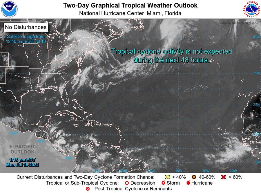
Elsewhere, tropical cyclone formation is not expected during the next 2 days.
The next update will be issued at 8 pm.
Cécil Mitchell, Duty Forecaster