


For Tropical North Atlantic Ocean, Caribbean Sea and Gulf of Mexico

AREA OF SPECIAL INTEREST: 10 – 20 °N AND 45 – 65 °W
Tropical Wave
A tropical wave extends along 57°W from 18°N southward, about 262 nautical miles (nm) east of Grenada. It is moving W at 20 kt. The wave is embedded in the Intertropical Convergence Zone
(ITCZ) and scattered moderate to isolated strong convection is seen from 07°N-10°N between 50°W-61°W. Weather models suggest that the axis of this wave will traverse the island chain on Sunday inducing cloudiness and showers with a medium chance of thunder and lightning. Additionally, more significant rainfall and thunderstorm activities are expected south of the Windward Islands esp. across Trinidad and Tobago.
The Meteorological Service will continue to monitor the progress of this wave and provide updates in a timely manner.
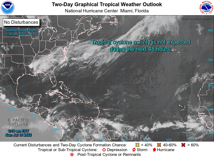
Elsewhere, tropical cyclone formation is not expected during the next 2 days.
The next update will be issued at 8 am.
Cécil Mitchell, Duty Forecaster