


For Tropical North Atlantic Ocean, Caribbean Sea and Gulf of Mexico

AREA OF SPECIAL INTEREST: 10 – 20 °N AND 45 – 65 °W
A central Atlantic tropical wave has its axis along 57°W, south of 22°N, approximately 260 nautical miles east of Grenada. The wave is moving west at 15-20 kt.
Although weather models suggest that the axis of this wave will traverse the island chain this morning, numerous showers and thunderstorms are noted from 11°N to 13°N and between 60°W and 63°W, ahead of the wave axis. Notably, severe thunderstorms and gusty winds were observed over Grenada overnight. Throughout the day, cloudy to overcast and windy conditions with light to moderate showers, some becoming heavy, and thunder are expected, improving during the night.
Therefore, a warning is issued for possible flooding and landslides in areas so prone.
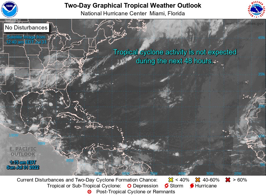
Elsewhere, tropical cyclone formation is not expected during the next 2 days.
The next update will be issued at 2 pm.
Eugine Whint, Duty Forecaster