


For Tropical North Atlantic Ocean, Caribbean Sea and Gulf of Mexico

AREA OF SPECIAL INTEREST: 10 – 20 °N AND 45 – 65 °W
Tropical Wave: A central Atlantic tropical wave has its axis along 52°W, extending from 21°N southward, 556 nautical miles (nm) east of Grenada. It is moving west at 15 kt to 20 kt. Satellite imagery reveals limited convection with this wave presently, since it remains embedded in a dry and dusty Saharan airmass which is suppressing cloud development and showery activity.
Weather models suggest that the axis of this wave will traverse the island chain on Saturday if the wave maintains its current forward speed; inducing periods of cloudiness, scattered showers and a low chance of lightning and thunder on Saturday. Further, a moist pool along the tail of the wave will support some cloudy spells and showers on Sunday also. However, significant rainfall from this wave, across the State of Grenada, may be reduced if the concentration of Saharan dust persists in the wave environment over the next 2 days.
The Meteorological Service will continue to monitor the progress of this wave and provide updates in a timely manner.
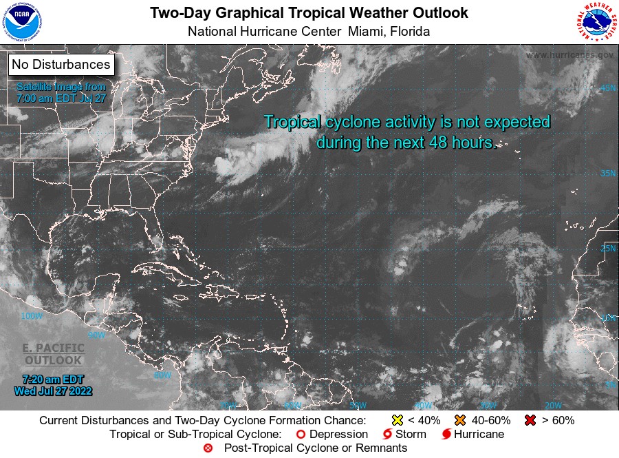
Elsewhere, tropical cyclone formation is not expected during the next 2 days.
The next update will be issued at 8 pm.
Cécil Mitchell, Duty Forecaster