


For Tropical North Atlantic Ocean, Caribbean Sea and Gulf of Mexico

AREA OF SPECIAL INTEREST: 10 – 20 °N AND 45 – 65 °W
Tropical Wave:
The axis of an Atlantic tropical wave which is approaching the Lesser Antilles is along 57°W, extending from 20°N southward, about 262 nautical miles (nm) east of Grenada. It is moving W at 15 kt. Satellite imagery depicted no significant convection with this wave due to the presence of dry Saharan dust in the environment. Nevertheless, weather models suggest that the axis of this wave will traverse the island chain early Friday morning and there is a medium chance of increased cloudiness accompanied by light to moderate showers on Friday.
The Meteorological Service will continue to monitor the progress of this wave and provide updates in a timely manner.
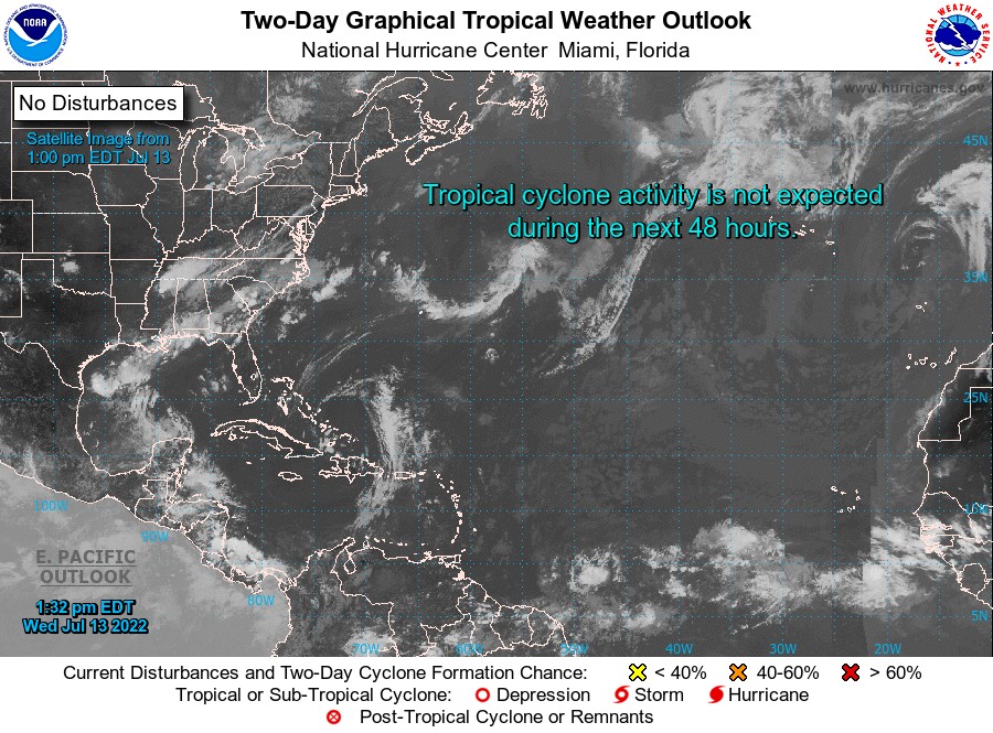
Elsewhere, tropical cyclone formation is not expected during the next 2 days.
The next update will be issued at 8 pm.
Cécil Mitchell, Duty Forecaster